Nowadays, there had been developed Georeferencing mechanism to determine the spatial positioning of an element in a coordinate based system, which are divided in two, the place of origin in which the signal is born and its destination.
At this point, Europe has been developing a project called Galileo (global system of navigation by satellite), which was born in mid 90’s with the objective of having its own satellite navigation system.
Ad Maiorem has made presence in the project through its consultants, supporting to the aerospatial program in the construction of this alternate or complementary GPS system, in search of accomplishing their objective of having both independence and autonomy in European navigation.
Other of its many objectives is giving a positioning and gestion service in real time to know with accuracy where and when we are.
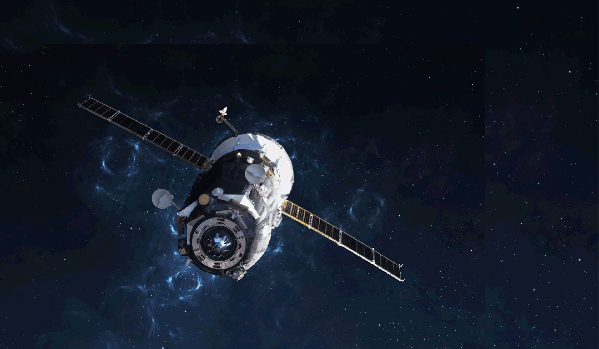
This project covers a constellation of 30 satellites that orbit the Earth and are equipped with precise clocks, allowing that the signal that is received can communicate with accuracy the exact position of the satellite in space, and the exact moment in which its signal lefts the satellite.
For instance, our consultants work by the hand of this area, intervening in addition to their experience in the development of innovative strategies, the design of satellite platforms and even the elaboration of both system and mechanical softwares; In which we are visionazing the future and the scope of new technologies that allow us to innovate and create tactics for the construction of a sustainable future.
Buscar
Categorías
Categories
Archivos
Archives
Categories
Archives
Contact us
The information contained in this document is informative in nature about the activities of the company. It contains general aspects and does not express any desire to provide specific third party data. We cannot guarantee that the data provided will be up to date in the near future. In this sense, if there is a willingness to use them, it is recommended to take the content as a reference and carry out its timely verification. For these purposes, we are at your disposal.
Share this article with your contacts!
© Copyright 2023 – Ad Maiorem Consulting. All rights reserved. Ad Maiorem Consulting is a brand that refers to one or more member companies at a global level, each of which is a legal and independent entity in the country in which it is located, without constituting an international company. Ad Maiorem Consulting offers consulting services in technology, engineering and innovation to its clients.
European Regional Development Fund
A way to make Europe


